It was a long, slow day, but a good one. At one point, Naver went naughty and routed me through a different part of the city than it's done in the past, but I'd guess I was off the official trail for no more than a mile. Except for that detour, every other part of the path was familiar to me. Maybe it's sometimes better to navigate by sight and not by instrumentation.
I started a bit late—5:45 a.m. on a 32K day. I saw that Naver had glitched: it was saying the walk would be 34K from Libertar Pension because it was plotting a weird and unnecessarily zigzaggy course from my front doorstep when all I needed to do was make a beeline for Gumi Dam, cross the river again, and be on my way. Once I was across the river, I re-plotted my course, and Naver showed the proper 32K figure. Naver is generally quite reliable, but it's not perfect. This is going to be a problem in Busan on the last day as well, but I developed my workaround for that problem a few years back.
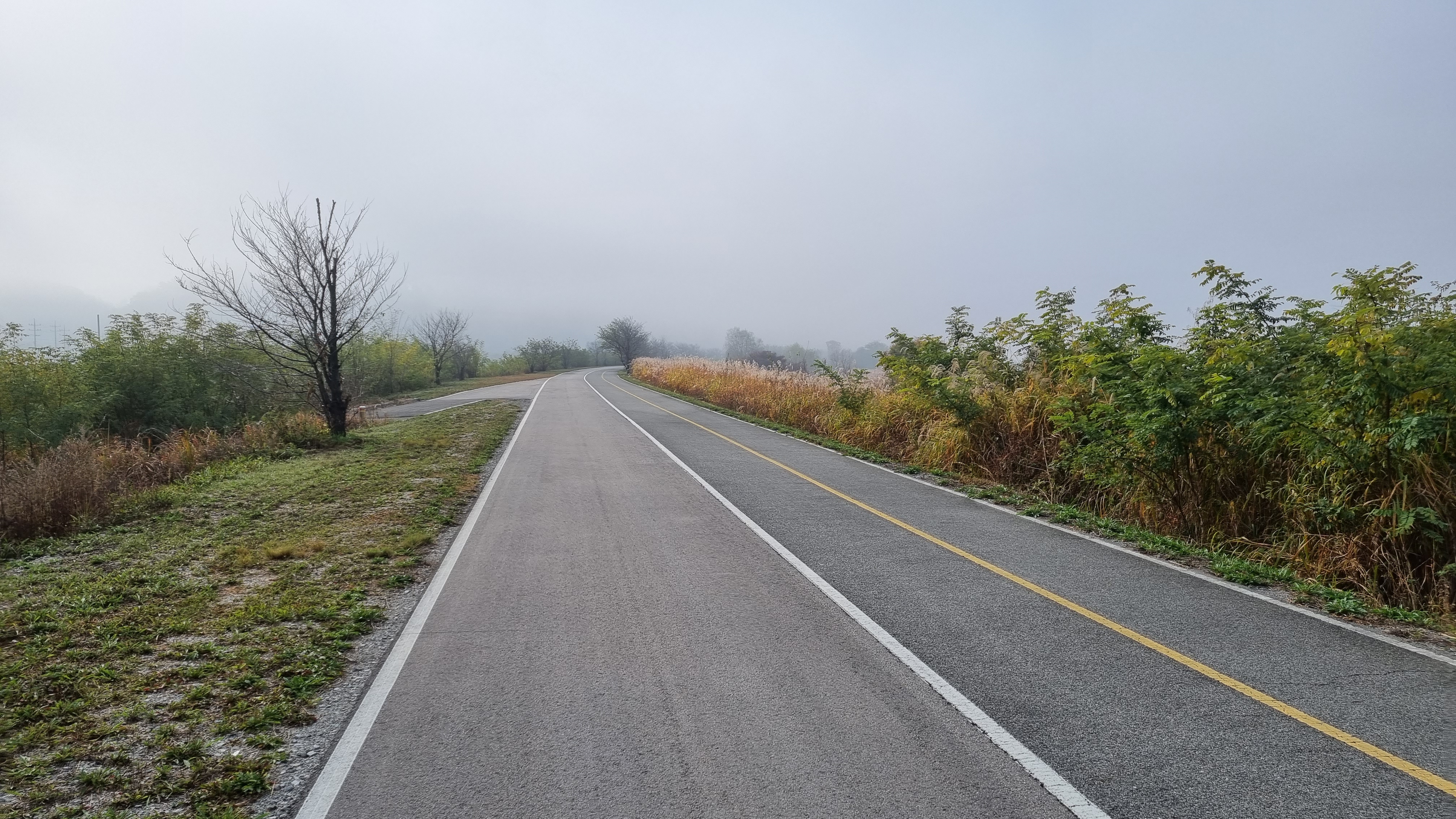
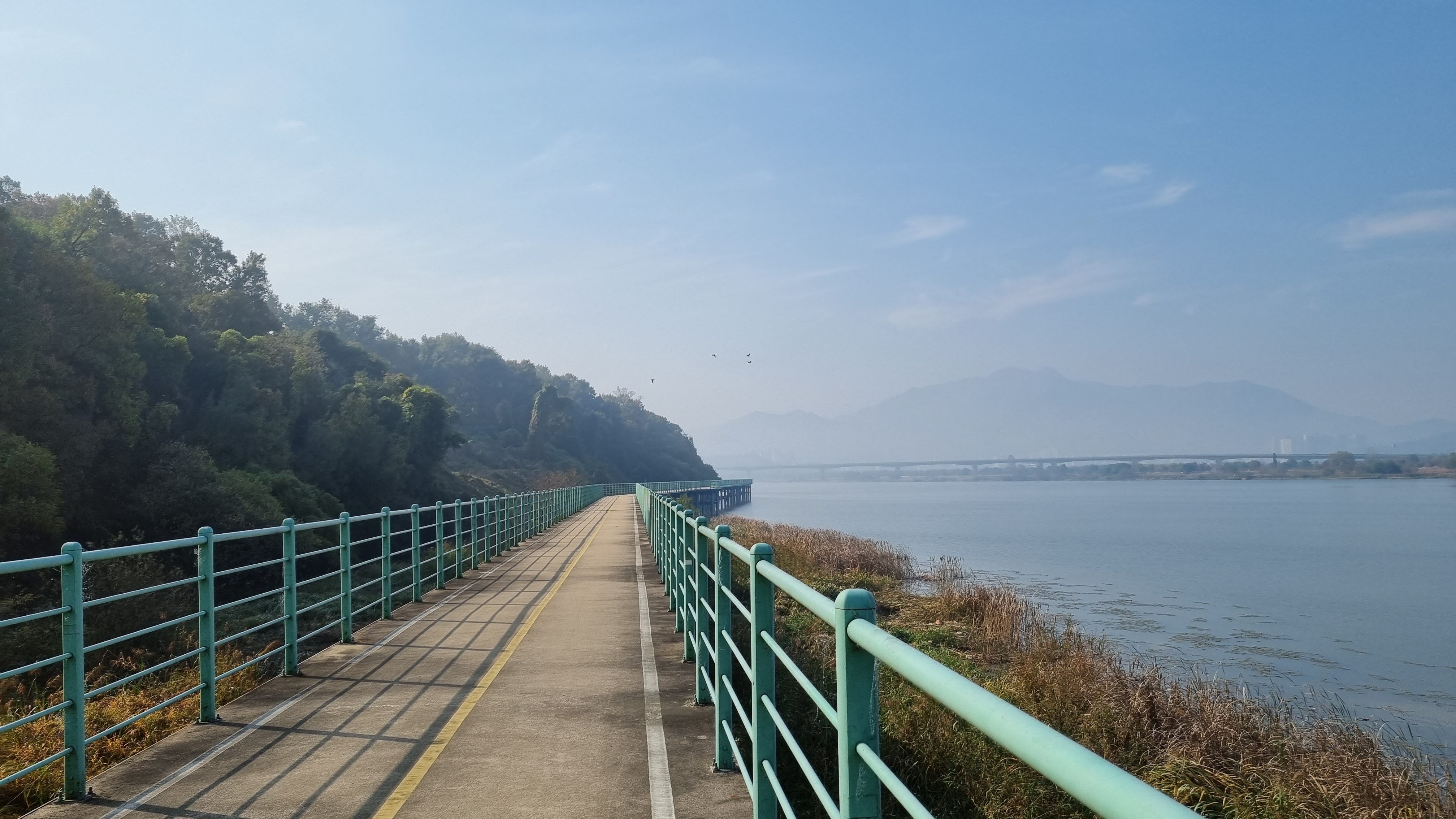
I crossed over and under a lot of bridges today. The path also had plenty of long, gentle curves and extended straightaways, but there were no major hills. It was also heartening to see so many Joro spiders out: I was beginning to think they'd mostly retired before the coming winter.
It was 5:45 p m. by the time I limped into the Yi Lee Motel (이 모텔). Including rest breaks and some small diversions (mainly to go take a piss somewhere), that's 12 hours to do 32 kilometers. Subtract an hour for all those breaks and diversions, and that's 32K in 11 hours, or a super-slow 2.9 kph. There must be a reason for the slowness: maybe I'm not calculating the cumulative break time correctly.
Fog seems to be the recurrent trope or running joke of this trip. I wake up to it almost every morning. Things tend to clear up and brighten around lunchtime; I guess fog is just part of the late-October experience. As on previous days, the morning temperature today wasn't cold enough for me to need gloves.
Today's walk led me past many open spaces; some of it was parkland, and some of it had been converted into park-golf terrain. I wish old Korean people had a venerable pastime like the French pétanque to occupy them. Park golf just seems so corny and contrived—an awkward combination of croquet and miniature golf, played with a large ball and mallet-like clubs on a flat green with occasional, minimal hills only a few inches high. While I imagine getting good at the game requires finesse and dexterity, it still seems silly. Then again, I'm prejudiced against regular golf, which also strikes me as abysmally silly. (Sorry, Scots.)
Since the weather has been kind ever since I dropped below a certain latitude, I may as well describe the phases of my day. I didn't bring a heavy coat, so in the mornings, I start my walk wearing my windbreaker and my poncho: my hands are fine in the cool morning, but it's just cool enough that my torso needs some layers to keep it warm. Same with my head, so I wear that head covering that looks like a ski mask: it leaves my eyes uncovered, but it covers the rest of my entire head and neck. As the sky lightens, and the temperatures rise slightly, the head covering is the first thing to come off, to be replaced by my bandanna. Next to come off is the poncho, soon followed by the windbreaker. At that point, I'm down to my tee shirt and toshi, which is fine. When the fog clears, and the sun is out, I break out my hat, which I flop right on top of my bandanna. (You never just rip your hat off: to keep the bandanna on your head, you have to press a finger or two onto the part of the bandanna covering your forehead. With the bandanna locked in place, you can now safely peel your hat off using your other hand without taking the bandanna off your head.)
The Yi Motel is under new management. The new old lady running the place is friendly but maybe a bit addled. She first gave me a room key for Room 110. I unlocked the room door and when in... only to discover there was a very startled person already in the room. I quickly apologized and backed out. When I went to talk to the lady about this, she scratched her head and muttered a bit before giving me a key to Room 202, one floor up. (This old building follows the Continental European floor-numbering system in which the ground floor is "0," and the next floor up is "1." So Room 201 is on what we Yanks would call the third floor.) Things have changed since my last visit here. The bathroom sink has no plumbing problem, for one thing. And there's strong WiFi now! In 2017, when I asked the then-manager whether there was 무선인터넷/museon-inteonet (wireless internet, i.e., WiFi), she looked at me as if my head had transformed into talking buttocks. This time around, I've got good, if not secure, WiFi. My VPN will, I hope, take care of security.
The motel manager initially tried to ring up my room fee with my check card, but the machine wouldn't allow me to sign when it requested my signature. I offered to pay in cash, but it turned out I had only W50,000, and two nights at the motel would run me W80,000 (that's W40,000 a night for you slower folks). So I knew I'd have to walk across the way to the Chilgok Dam admin building, which has a convenience store and an ATM inside it—kill two birds with one stone. So I walked through a tunnel leading under the nearby freeway, got my cash and my dinner, and walked back to the motel. The lady gladly accepted my W80,000, then she kept offering to provide services for tomorrow like room cleanup, new towels, and more water. I told her none of that would be necessary, but she seemed insistent on doing something. I knew she was trying to be nice, but it's inconvenient to me, on a rest day, to be on the alert for someone who might come barging into my room at any moment. I hate that feeling of constant expectation, especially when no specific time has been set for the barge-in to happen. I guess I'll just wake up early, and we'll see what happens.
Right—time for info and images.
 |
| Today's path followed the river closely. |
 |
| almost 5,000 calories |
 |
| Gumi Dam in the early morning |
 |
| yet another strange larva |
Regarding the above photo: I have two photos from several days ago, when I was walking to Suanbo (the place famous for pheasants). I came across two dead larvae that were frighteningly huge. The second larva, when I palpated it with a finger, looked armored but turned out to be soft and fleshy-feeling. Gross. Both larvae were ass-ugly. When I publish the full photo essay later, you'll see the horrors for yourself.
 |
| close to the riverside |
 |
| quaint mailbox at a rest stop |
 |
| small webs spun by small orb-weavers |
 |
| a sad fraction of a glove |
 |
| one of my many beloved straightaways with Gukto Jongju notation |
To review: the above four syllables say gukto jongju (國土縱走/국토종주). Guk = country; to = ground or earth; jongju = end-to-end path. So: an end-to-end path across the nation's territory. Originally, a jongju was a path along the crest of a mountain range, from one end to another. In the current context, it refers to a country-spanning path. I had initially thought gukto jongju referred exclusively to the Four Rivers path, but I've since learned it's a generic term for many country-spanning paths on the peninsula.
So for example, the Four Rivers path is one gukto jongju. But the Nakdong River also has its own gukto jongju running from the Andong Dam to Sangju to Busan. The part from Sangju to Busan is shared by both trails, so signage along this part of the path can refer to either or both. You'll therefore see signs for "Four Rivers Gukto Jongju" as well as signs for "Nakdong River Gukto Jongju." This has all been mentioned before.
 |
| sunset and bridge maybe 3K from the end of my walk |
The statue below, one of several naughty statues in this motel, has always struck me as having preternaturally long arms. And big hands. I know you're the one.
 |
| "If you want this slut-slut, then it goes in the butt-butt!" |
Tonight, we're laundering everything. Tomorrow, if the clothes are dry enough (actually wearing the clothes can dry them faster through movement and body heat), I'll take a walk across the dam and the river to the nearby hill where there's an old-school lookout point that got extensively discussed during a previous walk. There's also a nearby Holly's Coffee where I'll eat a simple lunch before returning to my room. With luck, the front-desk lady will work her elf-magic while I'm out and about.
Weather this week is looking good... until Saturday, my second camping day. Rain is forecast for the morning that day. If that's the case, I might either re-plot my course so I can crash at some nearby lodging, or I'll just power through another 26K to Namji, the town after my camp day, and stay in Namji for three nights instead of two. (Walking straight to Namji, bypassing the campsite, means a grueling 44K walk.) Namji is traditionally where I eat my favorite fried-chicken tenders. No diet can stop me from eating those. If I stay there for three nights, though, I'll be tempted to eat chicken tenders two days in a row, which might not be a good idea health-wise. Carbs'll kill you, man. Beware.
Basically, if it rains on Saturday, I'm probably not camping. I could theoretically survive a cold, rainy night with the equipment I have, but it'd be a bitch, and I don't want to risk a cold so close to the end of the walk.
PHOTO ESSAY
 |
| Goodbye, Libertar Pension. |
 |
| recrossing the river to get back to the Four Rivers path |
 |
| The river ever stops a-roiling at these dams. |
 |
| I've always wondered what sort of cert center this is. |
 |
Inside the glowing triangle: "Slow."
Glowing horizontal script: "Sharp curve."
Glowing vertical script: "Place with frequent accidents." |
 |
| cabbages braving the misty dawn |
 |
Sign, top panel: "Safe speed, 20 kph."
Middle sign: "Nakdong River Jongju Bike Path."
Bottom sign: "Chilgok Dam: 32.6 km." |
 |
| another toppled marker |
 |
| These bike images built into the fencing/guardrails are fascinating. |
 |
| Dewey Webb's cousin, Soggy Webb |
 |
| We're always turning right, it seems. |
 |
| Danger Guy and Unsucessfully-Hide-the-Crotch Turtle warn of deep water, so absolutely no playing or fishing. |
 |
| closeup of this version of Danger Guy |
 |
| Chilgok Dam is now 30.4 km away. |
 |
| metatruck |
 |
| Bikers go one way, and walkers go another... but I'll be following the bikers. |
 |
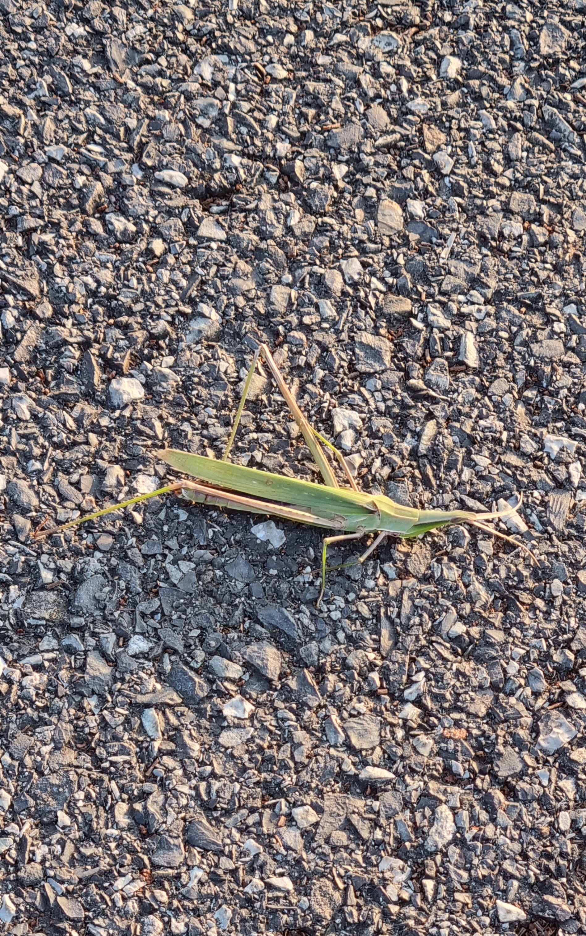
| Looks to be a six-legger. Female war vet. |
 |
| ramshackle |
 |
| On a dewy morning like this, there's no worry of a fire. But when it's dry... |
 |
| A spider stands guard. |
 |
| Not so much abandoned as off-season. |
 |
| I think these are called fleabanes. |
 |
| falling/leaning and rotten |
 |
| Look how all of these trees are deformed by some sort of blight. Gross. |
 |
| a close look at one such afflicted tree |
 |
| another |
 |
| and another |
 |
| more |
You can almost feel the trees' vegetal pain.
 |
| Enlarge to see the huge web more clearly. |
 |
| Yoda renovated. |
 |
"Accidents from negligence are a concern in rain and snow, so please refrain from using these routes at those times."
(The literal translation of anjeon-sago/안전사고 is "safety accident," which makes no sense to me.) |
 |
| 256 km to final goal |
 |
| tee-hee |
 |
| Dewey Racknid |
 |
| We swerve right. |
 |
| 254 km to final goal |
 |
| Someone wrote on the fence that this is a no-smoking zone. No disagreement from me. |
 |
| The bench warns you not to throw down your tissues and cigarette butts and reiterates this is a no-smoking zone. |
 |
The green font says, in hangeulized English, "Green City." The blue font says "Gumi." In Korean, there's a pronunciation rule: if an "s" sound precedes an "ee" vowel, the "s" becomes an "sh," so the pronunciation of "Green City" sounds Connery-esque: "Green Shitty." (Well, "Geu-reen Sheetee.") |
 |
| A good slogan associates itself with orgasms. |
 |
| water(re)source protection area |
 |
| "Construction in progress: vehicles are forbidden entrance." |
 |
| This is a pretty typical Korean fence. It's rare to see US-style chain link. |
 |
| Wet enough for ya'? |
 |
| another big, gross mystery grub (moth grub?) |
 |
| the forlorn sun |
 |
| When mallards ruled the earth... remember the duck god? |
 |
| far |
 |
| near |
 |
| 252 km to final goal, plus the Four Rivers symbol |
 |
| Get out of the pedestrian lane, fucker. |
 |
| cow house |
 |
| These are cows, not bulls, so I assume this is more about milk than beef. Are used-up cows slaughtered? |
 |
| ladies |
 |
| another idiot |
 |
| Chilgok Dam, 24 km |
 |
| another lone tree |
 |
| Could we call this a... copse? Or is it too open and spread-out? |
 |
| These loner trees must be introverted kindred spirits. |
 |
| The work is never done. |
 |
| more bird vetch |
 |
| Is the day finally starting to brighten? |
 |
| What a wreck. |
 |
| ville à distance |
 |
| 22.5 km to Chilgok Dam |
 |
| more fencing with bike images |
 |
| Litter, the undeniable reality along much of the trail. |
 |
| more litter |
 |
| nice riverside view |
 |
| Rest stop, so I'm stopping here for a bit. |
 |
| the ever-running faucet (which I turned off) |
 |
| the big bonsai |
 |
| another big bonsai |
 |
| the quaint post box |
 |
| back on the trail with 249 km to the final goal |
 |
| I wonder what it'd be like to boat the entire Nakdong from Andong to Busan. |
 |
| blurry spider |
 |
| clear spider: a tiny orb-weaver |
 |
| finger in search of glove |
 |
| As always, a warning about playing near the water and fishing. |
 |
| Danger Guy looks clearer in this image. |
 |
| Another live snake! |
 |
| Ssssssss. |
 |
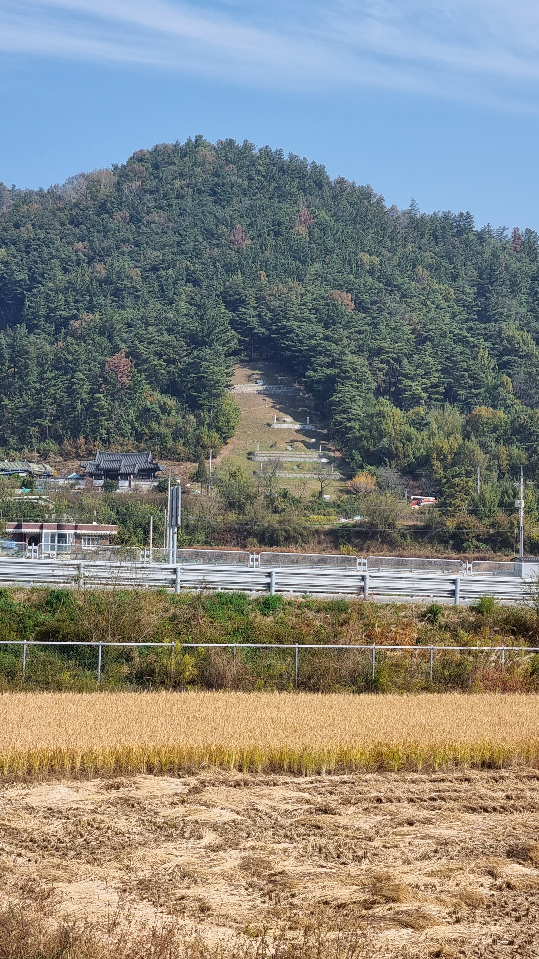
| graves (묘/myo, tumuli) on the mountainside |
 |
| digital zoom |
 |
| And you thought the last mantis corpse was bad. |
 |
| Gukto Jongju: the right direction |
 |
| neighborhood, digitally zoomed |
 |
| We're approaching Daegu. Soon, my sweet. |
 |
| 19.5 km to Chilgok Dam |
 |
| more park golf |
 |
| I like this stretch despite the park golf. It's open, well manicured, and peaceful. |
 |
| a sign for park golf and an educational institute of some kind |
 |
| I'm guessing that the misprint "Cydeway" is an OCR mistake from a poorly scanned "Cycleway." |
 |
| Chilgok Dam, thataway |
 |
| Saho Bridge, and into the city |
 |
| turtle with a broken flipper |
 |
| park golf seen from afar |
 |
| Yes, Gumi! Yes, yes! |
 |
| a rare left turn |
 |
| Here, we go right to go left. |
 |
| The ramp, see? |
 |
| Who's that member of the lumpenproletariat? |
 |
| Four Rivers + Nakdong River sign |
 |
| This looks as though a BMX course and a putt-putt-golf course had a baby. |
 |
| Crossing back... maybe I shouldn't have crossed the first time. |
 |
| "You are a very precious person to us." So don't off yourself today! |
 |
| But would a suicidal person appreciate a turtle's ass? |
 |
| He looks a little grumpy. I think he'd also prefer people not to stare at his rear end. |
 |
| The tree leans so heavily that it needs support. |
 |
| Indong-hyang gyo/인동향교 —I think this is a sign for an old, traditional school. |
 |
| The blue sign, left of the stairs, confirms the place's name. I think this is Confucian. |
This is a slightly different route from the one I've taken before. So all of the following photos show things that are new to me. I'm paralleling the river.
 |
| downtown, it would seem |
 |
| a look down a side street |
 |
| There's the river. |
 |
| I instinctively move back to the water. |
 |
| more bike imagery |
 |
| another incongruous windmill |
 |
| This path is nice because of the lack of traffic. |
 |
| Gumi City Cycling Education Center |
 |
| Funky modern bell... I have to see this. |
 |
| Gumi Electronic Bell |
 |
| A baby bell... now I'm thinking of cheese. |
 |
| "$20 billion export... celebration of achievement" (I think) |
 |
| a look back, and a public restroom |
 |
| details on walking correctly (I'm sure I'm failing at all of these things) |
 |
| I'm liking the roofing "tiles" made of what seem to be chunks of wood. |
 |
| more fucking park golf |
 |
| I really want to know this place's story. |
 |
| old-school shwimteo |
 |
| Koreans lurve their abstract sculpture. |
 |
| And I'm tellin' ya', man—Koreans also love disembodied hands. |
 |
| dawgs frozen in time |
 |
| the hanging place |
 |
| elevated shwimteo |
 |
| whoa |
 |
| 3 Gongdan Bridge |
 |
| a dry fish ladder |
 |
| when cyclists mate |
 |
| We're now following a familiar path. |
 |
| dux |
 |
| I wonder whether they're guests here... or about to meet their fate. Lots of duck restos in Korea. |
 |
| repeated bike motif |
 |
| haven't seen a snake splat in a while |
 |
| This looks vaguely martial. |
 |
| 239 km to the final goal |
 |
| Chilgok Dam, 10 km |
 |
| Even more lovely parkland... I love this stretch, too. |
 |
| What's it say? Hard to read. |
 |
| This one, too. |
 |
| going straight |
 |
| grrrrrr... car |
 |
| Afternoon shadows grow longer. |
 |
| old folks and their scooters |
 |
| Seokjeok Park Golf Course |
 |
| yeesh |
 |
| And on the other side of the path, looking left... |
 |
| Chilgok Dam, 5.7 km... more than an hour's walk at my slow, end-of-the-day pace |
 |
| 234 km to final goal |
 |
| 3.3 km to the Chilgok Dam cert center |
 |
| A site full of garbage. At least I didn't camp here. |
 |
| Nakdong River Estuary Barrage (final destination): 233 km |
 |
This nearly headless retard is apparently called a "Chinese grasshopper."
I may have mentioned him before. |
 |
| Gukto Jongju |
 |
| We turn away from the river, then go back to it. One of those annoying not-quite-detours. |
 |
| Enjoy the lack of dew, sister. |
 |
| Danger! And all the fun things you can't do: swim, waterski, fish, cook, camp. |
 |
| Not going right because my motel is up ahead. We leave the path and follow local roads now. |
 |
| Left. |
 |
| See the squashes? |
 |
| Maybe more than I wanted to see. |
 |
| Chilgok Patriots and Peace Commemorative Site |
 |
| 70 years of the US-ROK alliance! Facing the future together. (Not everyone here is behind that sentiment.) |
 |
| the sign for the entrance to the Patriots and Peace Center |
 |
| über-landscaping |
 |
| cute fighting vehicle |
 |
| At last! My lodging, the Lee Motel. |
 |
| foreground: a place to dump used clothig for the poor |
 |
| Lee Motel entrance |
 |
| Pyracantha coccinea? |
 |
| almost in |
 |
| the kneeling girl with the weirdly long arms |
 |
| Miss Thunder Thighs |
 |
| I've never rested here. |
 |
| half-buried house |
I settled in, dropped my stuff in my room, then crossed the freeway via an underground tunnel to the ther side, where there's an admin building and a convenience store. Got my food from there.
The drama of my feet continues as things worsen:
 |
| Sorry for the blur. |
 |
| A blackened nail means it'll eventually fall off. |


Enjoy your well-earned rest days in a better-run motel. As for the fog, welcome to my world. I'm in a fog most days, it seems. Or maybe it's all in my head.
ReplyDeleteI've had that happen before walking into an already occupied room. It is always wise to throw the deadbolt to avoid those situations. I rarely think about that, though.
You say you limped into the motel; that might explain the slow pace. These rest days are coming at a good time, but I guess you planned it that way.
Kevin, I am sure you have thought of it, but I bet it would (almost) seem like a whole new trail if you did it in reverse - taking the train down to Busan and starting from there. Different perspective on everything.
ReplyDeleteI believe I mentioned this before, but if you are looking for a different long distance trail in NE Asia, there is the Shinkoku Pilgrimage Trail in Japan, which is a circuit around the island of Shikoku, stopping at 88 temples along the way. A friend of mine did it and enjoyed it, doing it in one go (1200 km). She ended up camping out most days, but my understanding is that there may be accommodations available at (some of) the temples.
Oh, yeah: about doing the trail backwards. I might try something like that next year, doing the Nakdong River path from Busan to Andong. That's a shorter path; it'd take about three weeks. Finishing at the dam would be awesome; it's a really lovely spot. Doing the Four Rivers trail backwards, finishing at Incheon, would feel anticlimactic because Incheon is, frankly, kind of a lame spot. It'd be depressing to end the walk there.
ReplyDelete