Much nicer weather today, with the sun getting positively shiny by late morning. I made decent progress, too, arriving at my apartment at almost exactly 1:30 p.m. after a 5:30 a.m. start and a couple rest breaks. That's a not-very-impressive average speed of 3.63 kph if you include the rest breaks. Subtract those breaks, and my speed is still not very impressive at 3.87 kph. I normally start the day with some pep in my step, but I normally end the day dragging my feet.
Miraculously, I also ended the day with feet that, while blistered, felt much better than during the abortive Chuseok walk. One possible reason is the half-dose of ibuprofen I took right before I started walking. I have no idea how long the effects of ibuprofen linger (that morning dose seems to have lingered all day), and I have no idea what lies ahead, but I nevertheless feel a bit more optimistic about how the rest of the walk will go. Regarding those blisters: it's routine for me to get blisters within a few days of starting this sort of walk, but to get them on Day One is a new thing. (Then again, the recent attempt to walk to Hanam City, and getting a painful blister after only 11K, was a bit freakish.) Also new is getting blisters on the side of my big toes (maybe the fault of the new Skechers). I've got a nice blood blister on my left sole, but that sort of thing is almost boring for me at this point. A big-toe blister, by contrast, is novel.
Today's walk was accompanied by a host of blackish-grey autumn caterpillars. I have a caterpillar pic below of an especially fat, juicy one, but that's not the one I'm talking about. These caterpillars are furry and feel like smaller cousins of American tent caterpillars. Later, when I slap up the full photo essay, you'll see what they look like, and maybe you can help me identify them. The bastards were everywhere along the walk; under one bridge, I saw dozens of them covering a concrete pylon, just randomly congregating there without a care in the world.
Lots of bikers and joggers on the path today—many in pairs and groups. Koreans, being part of a group-oriented culture, often find it hard to imagine doing anything on one's own. Korean Buddhism talks about so-called "together action," in which members of the group take energy and inspiration from each other, e.g., when meditating or when performing bows. I can no longer count the number of times I've had random encounters on the path toward Busan in which a Korean asks me, "And you're walking this alone?" Alone is hard to imagine.
I had forgotten my toshi/토시 (biker sleevelets/manchettes), so I was a bit worried about getting sunburned forearms, but the sun didn't get bright and glare-y until the late morning, so I had only a couple hours' uneven exposure. I'm part Irish and half-Korean, which means my skin reacts weirdly to the sun: I initially burn and peel like an Irishman, after which my skin both freckles (again like an Irishman) and deeply tans (like a Korean). Korean bikers wear toshi when biking, but Korean walkers rarely wear them, relying on their natural melanin to protect them. Since Koreans engaging in any sporting activity love to "dress the part," so to speak (hence the hiking pants and even lederhosen you might see on a mountain path), I suspect the bikers' toshi are more for looks than for anything practical. Anyway, now that I'm back at my place, I can pick up my toshi and use them for the rest of the trail.
With no rain today, and with the gradually falling temperatures, the walk went smoothly. AccuWeather is claiming that it's supposed to rain this coming Thursday, which is the day I hike from Yangpyeong to Yeoju (about 33K). While I survived yesterday's 35K trek in the rain, I'd rather avoid rain when I can, so I'm thinking that, instead of taking my one-day pause when I reach Yangpyeong (a 35K walk from Hanam), I'll walk to Yeoju on Wednesday and use Thursday, the supposedly rainy day, as my day to pause. To clarify what that means:
tomorrow (Mon, 10/16): walk to Hanam (26K)
Tue, 10/17: walk 35K to Yangpyeong (no one-day pause on 10/18)
Wed, 10/18: walk 33K to Yeoju
Thu, 10/19 (day of rain): rest and out wait out the rain
Walking 33K right after a 35K day will be a bit brutal, but the payoff is the rest day on the 19th. This will make it weird for my alternate-day fasting schedule (I'm fasting on Mondays, Wednesdays, and Fridays)—I'd prefer not to eat on a resting day. But whatever. This plan is subject to change depending on changes in the forecast.* AccuWeather (I used to use Weather.com until they got wonky, woke, and weird) has proven not to be a very reliable source for weather forecasts; it's never enough to check the night before: you must also check the morning of, and keep rechecking throughout the morning. Part of the problem, too, is that Korea is mountainous, and mountainous regions have notoriously unpredictable weather. Still, it doesn't help to be standing in a light drizzle, and for AccuWeather to be showing no precipitation at that hour.
For a more comprehensive view of the segment I walked today, see my main blog here. Meanwhile, here are images of today's route, my stats, and some scenes from the path:
 |
| my 29K route from the EG Hotel to my apartment—only 1:58:00 by bike! |
 |
| 22.13 mi. is not 29K; never trust distances on my pedometer; trust everything else |
 |
| the Jesus beacon, Gayang-dong |
 |
| the closest I could get to a sunrise shot this time |
 |
| Danger toons! "Watch out for bumping." |
 |
| "Always cleanly!" says the graffito. No irony here. |
 |
| I saw this digging into the riverbed last time. The Han isn't very deep, it turns out. |
 |
| A curving ramp dominates the path. |
 |
| final approach to my neighborhood |
 |
| flowers within flowers |
 |
| fat caterpillar next to my trekking pole's goat's foot |
 |
| the final footbridge to my neighborhood |
Tomorrow's walk to Hanam City will be shorter at only about 26K. It's also a fasting day, so I'll benefit from a monster caloric deficit (diet drinks and water only!). These past two days were the weekend, and I didn't feel that bad about pigging out a bit: if I'm burning around 4,000 calories a day and eat a 3,000-calorie lunch, for example, I'm still at a 1,000-calorie deficit. I think Day 1 and 2 both saw me burn about 4,000 calories, and my lunches and snacks for those days totaled 2,500 and 2,000 calories respectively. During the week, I might ingest carbs in the form of, say, whatever rice accompanies a meal, but I won't be snacking or cola-ing. The sugary stuff will be confined to the weekends.
Oh, yeah, one last thing: I was using a small backpack for the first two days of this hike since I knew that Day 2 would end where I am now—back at my place. From here on in, though, I'll have the big backpack because I'll eventually need the camping gear once I reach the Nakdong River portion of the trail.** That, too, will affect my caloric burn. In fact, the calorie figures I gave above were for unencumbered walking: my real figures while wearing the small backpack (5 kg) are probably slightly higher.
__________
*AccuWeather is now showing only light, sporadic rain on Thursday. I might stick to the original schedule. We'll see. Let's play it by ear.
**The Four Rivers trail is divided into four principal parts: (1) the Ara Canal, which takes you away from Incheon and out to the Han River; (2) the Han River, which takes you through Seoul and out to Chungju City; (3) the Saejae, which passes over the Baekdu Daegan mountain range and doesn't follow any major watercourses; and (4) the Nakdong River, which takes up fully half of the total trail and takes you faithfully down past Daegu to Busan.
PHOTO ESSAY
 |
| 5:33 a.m. |
 |
| Last straightaway before nearing the river. |
 |
| We curve right and east. I'll soon be looking for a tunnel to cross under the freeway. |
 |
| Could be Venus: morning star, eastern sky. |
 |
| Very roughly: "Get off your bike and walk it." |
 |
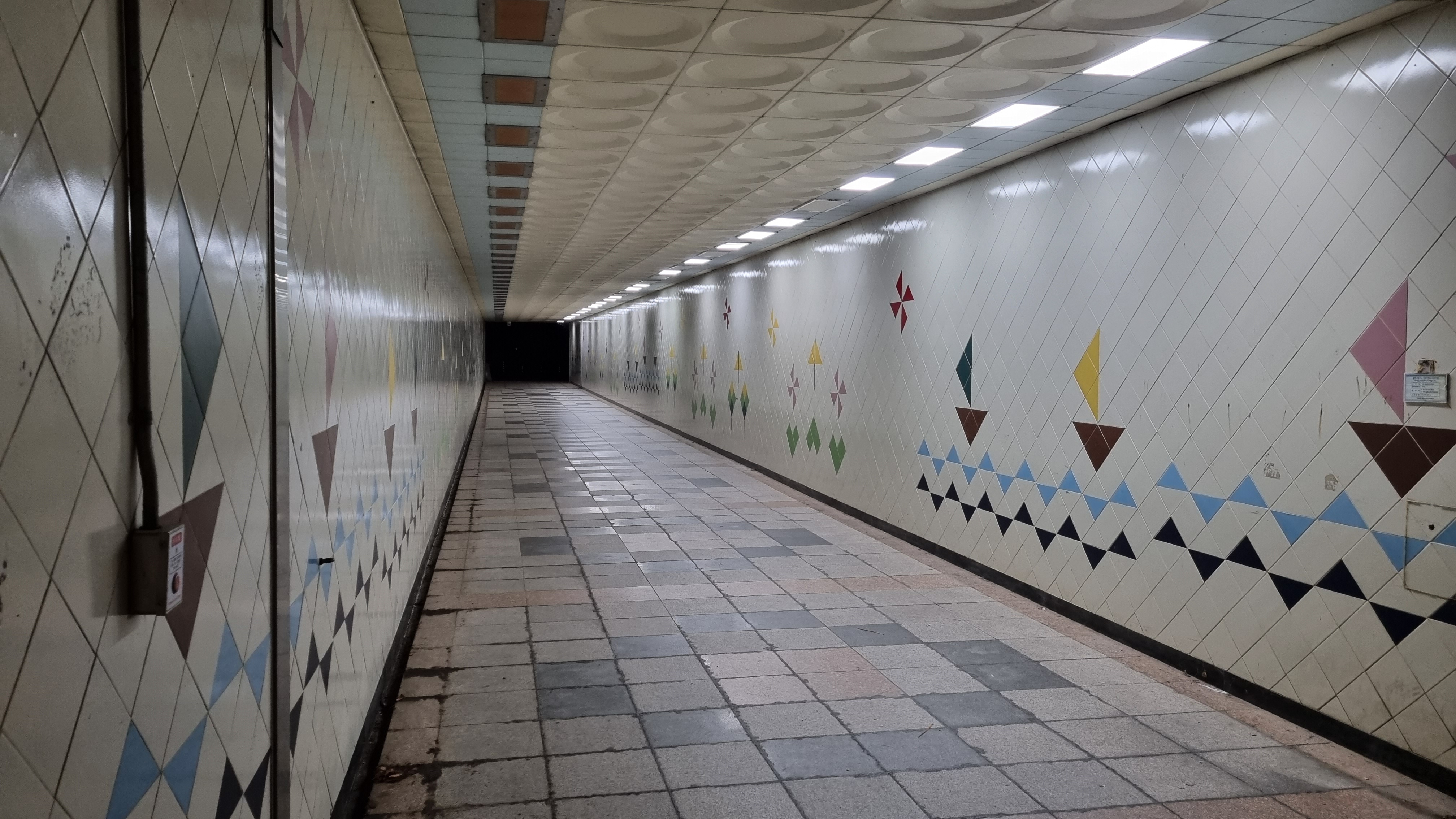
| The tunnel under the freeway and out to the river's edge. |
 |
| The right fork leads along the Anyang Creek (안양천), one of many tributaries to the Han. |
 |
| The red-ink watercourse is the Anyang Creek. |
 |
| Lots of big structures along the Han. |
 |
| And plenty of construction. |
 |
| Weirdly beautiful in death. |
 |
| Two danger guys meet! "Danger! Watch out for collisions." |
 |
| The nifty guide to... everywhere. |
 |
| I never remember which way to go as I pass the General Assembly, so I always consult Naver Map. |
 |
| The General Assembly (국회의사당/Gukhoe-euisadang), South Korea's version of the Capitol. |
 |
| a live one |
 |
| We're on the island of Yeouido/여의도, which many foreigners mispronounce "yaw-WEE-doh." |
 |
| Yeouido is a lot like the glassy, glitzy part of Gangnam: many company HQs, admin buildings, etc. |
 |
| pangolin sculpture |
 |
| the pangolin's face |
 |
| Sometimes, when I pass this sculpture of two kids, I see pollution sitting on the stones—cups and wrappers. |
 |
| quasi-abstract art |
 |
| joggers and rollerbladers: ships passing in the night? |
 |
| my big, furry buddy |
 |
| the 63 Building, or Yuk-sam/육삼빌딩 |
 |
| "Always cleanly!"—says the graffito. No irony here. |
 |
| We're past Yeouido now, and for the next couple of kilometers, we'll be under the Olympic Boulevard. |
 |
| Dredging the riverbed? |
 |
| old-school shwimteo with tropical vibe |
 |
| Magritte wuz here |
 |
| sign for the Dongho Bridge |
 |
| caterpillar |
 |
| caterpillars on pillar |
 |
| danger man drowning |
 |
| We're close to the Tan-cheon/탄천 (Tan/Coal Creek). I'll turn right soon and head toward my neighborhood. |
 |
| whooshing ivy |
 |
| along the Tan |
 |
| a different sort of glove |
 |
| a restroom where I took a pit stop |
 |
| my plump travel companion... doubtless wanted by birds |
 |
| the ramp up from creek level to street level |
 |
| the footbridge to the final stretch before my apartment |


I'm trying to recall if you've ever done this section along the North bank of the Han? Any thoughts on North v South?
ReplyDeleteI did part of the north bank with a Korean buddy of mine. We ended up not liking it very much: too noisy, and too much traffic. Maybe other sections of the north bank are better.
ReplyDeleteAs a cyclist I prefer the North bank most of the time. From Haengju to Nanji is really deserted and nice. The area around Ddukseom is quite crowded but it's quiet again once you get past that. There's a vicious hill between Guri and Deokso but apart from that I find it much quieter than the South bank, which is one long strip of idiot pedestrians (as opposed to cultured long-distance walkers) from Dangsan to Jamsil.
DeleteLooks to have been a pleasant and comparatively easy trek today. Now, your burden gets heavier, and the trails grow longer. It boggles my brain to realize you'll also be fasting along the way. That makes you a glutton for punishment in my book. My respect for your effort and dedication is boundless. Good luck going forward!
ReplyDeleteFor what it's worth, I think there's only one other segment that's a tiny bit longer than 35K (it's 36K). Today (Mon), though, I admit I'm getting reacquainted with having a full pack on my back. I should've trained with it more. I should've trained more in general for this trip.
ReplyDeleteSounds like a positive experience today. Good to hear.
ReplyDelete